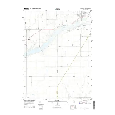
2015 Map of Farmer City South
USGS Topo · Published 2015About this map
Farmer City sits at the northern edge of this central Illinois landscape, where the street grid is meticulously detailed with names like W Market St and E Green St. The surrounding countryside in De Witt and Piatt counties is defined by a dense network of rural cemeteries, including Saint Josephs Catholic Cem, Maple Grove Cem, and Campground Cem, which offer significant research potential for local genealogists. Central to the geography is the expansive Lake Clinton, formed along the path of Salt Creek. This water system, alongside southern drainage features like Friends Cr Ditch and Goose Cr, illustrates the managed hydrology of this agricultural region. The settlements of Parnell, Fullerton, and Weldon anchor the outlying areas, connected by a structured section-line road system.
Find a feature on this map
72 named features on this map. Tap any name to fly to it.
Don’t see what you’re looking for? This feature index may not catch every label — zoom into the map to look around manually.
Map Details
Editions of this 2015 Farmer City South Map
This is the sole edition of this map. No revisions or reprints were ever made.
Other maps of this area

1937 · Monticello
USGS Topo · 1:48,000

1943 · Monticello
USGS Topo · 1:62,500

1951 · Le Roy
USGS Topo · 1:62,500

1952 · Arrowsmith
USGS Topo · 1:62,500

1957 · Maroa
USGS Topo · 1:62,500

1958 · Peoria
USGS Topo · 1:250,000

1961 · Peoria
USGS Topo · 1:250,000

1963 · Peoria
USGS Topo · 1:250,000

1979 · De Witt
USGS Topo · 1:24,000
1979 · Monticello
USGS Topo · 1:24,000