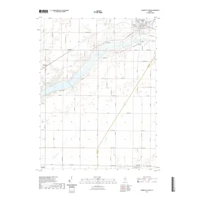
2021 Map of Farmer City South
USGS Topo · Published 2021About this map
Farmer City anchors the northern edge of this central Illinois landscape, where the residential grid gives way to the agricultural expanses of the De Witt Co and Piatt Co borderlands. The terrain is defined by the winding course of Salt Creek and the significant reach of Lake Clinton, which dominates the western central portion of the sheet. Smaller drainage features like Trenkle Slough and Friends Cr Ditch reveal the complex water management required for this productive prairie soil.
Find a feature on this map
93 named features on this map. Tap any name to fly to it.
Don’t see what you’re looking for? This feature index may not catch every label — zoom into the map to look around manually.
Map Details
Editions of this 2021 Farmer City South Map
This is the sole edition of this map. No revisions or reprints were ever made.
Other maps of this area

1937 · Monticello
USGS Topo · 1:48,000

1943 · Monticello
USGS Topo · 1:62,500

1951 · Le Roy
USGS Topo · 1:62,500

1952 · Arrowsmith
USGS Topo · 1:62,500

1957 · Maroa
USGS Topo · 1:62,500

1958 · Peoria
USGS Topo · 1:250,000

1961 · Peoria
USGS Topo · 1:250,000

1963 · Peoria
USGS Topo · 1:250,000

1979 · De Witt
USGS Topo · 1:24,000
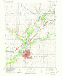
1979 · Monticello
USGS Topo · 1:24,000