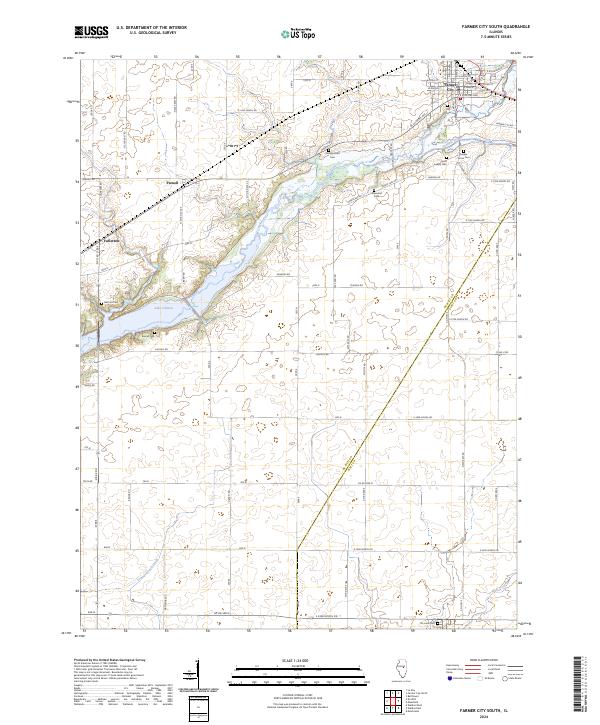
2024 Map of Farmer City South
USGS Topo · Published 2024About this map
Farmer City sits at the northern edge of this central Illinois landscape, where the flat agricultural plains are carved by the winding course of Salt Creek and its associated wetlands. The southern reaches of Lake Clinton dominate the western portion of the map, a modern hydrological feature that transformed the local terrain. Small rural clusters like Parnell and Fullerton remain as quiet reminders of the area's late-nineteenth-century settlement patterns, spaced along the grid of county roads.
Find a feature on this map
77 named features on this map. Tap any name to fly to it.
Don’t see what you’re looking for? This feature index may not catch every label — zoom into the map to look around manually.
Map Details
Editions of this 2024 Farmer City South Map
This is the sole edition of this map. No revisions or reprints were ever made.
Other maps of this area

1937 · Monticello
USGS Topo · 1:48,000

1943 · Monticello
USGS Topo · 1:62,500

1951 · Le Roy
USGS Topo · 1:62,500

1952 · Arrowsmith
USGS Topo · 1:62,500

1957 · Maroa
USGS Topo · 1:62,500

1958 · Peoria
USGS Topo · 1:250,000

1961 · Peoria
USGS Topo · 1:250,000

1963 · Peoria
USGS Topo · 1:250,000

1979 · De Witt
USGS Topo · 1:24,000
1979 · Monticello
USGS Topo · 1:24,000