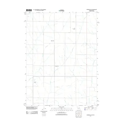
2012 Map of Farmers City
USGS Topo · Published 2012About this map
Farmers City stands as a central point in this rural landscape of Atchison County, Missouri, and southwestern Iowa, where the local road system follows a strict township and range grid. The terrain is defined by a series of north-south drainage patterns, including Rock Creek and Middle Tarkio Creek, which dictated the early placement of farmsteads and transport routes. Genealogists will find significant value in the documentation of the Saint Pauls Lutheran Cemetery and Grange Hall Cemetery, which serve as quiet landmarks for the community's ancestral history. The map's layout illustrates how early 21st-century agricultural life is organized around these watercourses and historical gathering places, with High Creek appearing as both a settlement name and a prominent tributary. This 2012 survey provides a clear view of the persistent rural character of the region, anchored by established county highways like Co Hwy J60 and Co Hwy M16.
Find a feature on this map
30 named features on this map. Tap any name to fly to it.
Don’t see what you’re looking for? This feature index may not catch every label — zoom into the map to look around manually.
Map Details
Editions of this 2012 Farmers City Map
This is the sole edition of this map. No revisions or reprints were ever made.
Other maps of this area

1915 · Nemaha
USGS Topo · 1:62,500

1939 · Tarkio
USGS Topo · 1:62,500

1939 · Farragut
USGS Topo · 1:62,500

1939 · Hamburg
USGS Topo · 1:62,500

1939 · Nemaha
USGS Topo · 1:62,500

1940 · Tarkio
USGS Topo · 1:62,500

1940 · Farragut
USGS Topo · 1:62,500

1941 · Tarkio
USGS Topo · 1:62,500

1941 · Hamburg
USGS Topo · 1:62,500

1949 · Nemaha
USGS Topo · 1:62,500