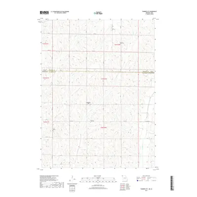
2017 Map of Farmers City
USGS Topo · Published 2017About this map
Farmers City sits at the heart of this agricultural landscape in the late 2010s, positioned near the intersection of 120 ST and N Ave. The region is defined by a dense network of sectional roads and the winding paths of several waterways, including Rock Cr and High Cr, which carve through the land south of the Iowa Missouri state line. This survey illustrates the enduring rural infrastructure of the borderlands, where traditional township and range divisions govern the placement of farmsteads and transit routes.
Find a feature on this map
30 named features on this map. Tap any name to fly to it.
Don’t see what you’re looking for? This feature index may not catch every label — zoom into the map to look around manually.
Map Details
Editions of this 2017 Farmers City Map
This is the sole edition of this map. No revisions or reprints were ever made.
Other maps of this area

1915 · Nemaha
USGS Topo · 1:62,500

1939 · Tarkio
USGS Topo · 1:62,500

1939 · Farragut
USGS Topo · 1:62,500

1939 · Hamburg
USGS Topo · 1:62,500

1939 · Nemaha
USGS Topo · 1:62,500

1940 · Tarkio
USGS Topo · 1:62,500

1940 · Farragut
USGS Topo · 1:62,500

1941 · Tarkio
USGS Topo · 1:62,500

1941 · Hamburg
USGS Topo · 1:62,500

1949 · Nemaha
USGS Topo · 1:62,500