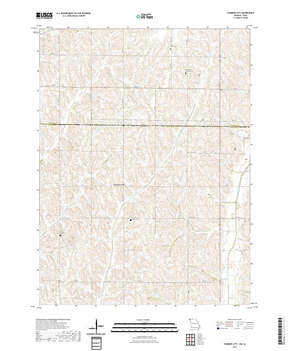
2021 Map of Farmers City
USGS Topo · Published 2021About this map
Farmers City sits at the heart of this agricultural landscape along the border of Iowa and Missouri. The terrain is defined by the drainage systems of High Cr, Rock Cr, and W Tarkio Cr, which carve through the rolling hills of Atchison County. This modern survey reflects a settlement pattern rooted in the 19th-century rural economy, where small community centers and family-named cemeteries served localized farm districts. The map preserves several burial sites that are vital for genealogical research, including Locust Grove Cem in the north and the Saint John's Church Cem further south. The presence of the Grange Hall Cem points to the historical importance of the Grange movement in this region's social and economic history. A rigid grid of section-line roads, such as State Hwy F and 120 St, provides the primary infrastructure for this enduring prairie farming community.
Find a feature on this map
31 named features on this map. Tap any name to fly to it.
Don’t see what you’re looking for? This feature index may not catch every label — zoom into the map to look around manually.
Map Details
Editions of this 2021 Farmers City Map
This is the sole edition of this map. No revisions or reprints were ever made.
Other maps of this area

1915 · Nemaha
USGS Topo · 1:62,500

1939 · Tarkio
USGS Topo · 1:62,500

1939 · Farragut
USGS Topo · 1:62,500

1939 · Hamburg
USGS Topo · 1:62,500

1939 · Nemaha
USGS Topo · 1:62,500

1940 · Tarkio
USGS Topo · 1:62,500

1940 · Farragut
USGS Topo · 1:62,500

1941 · Tarkio
USGS Topo · 1:62,500

1941 · Hamburg
USGS Topo · 1:62,500

1949 · Nemaha
USGS Topo · 1:62,500