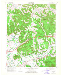
1970 Map of Farmers
USGS Topo · Published 1972About this map
Farmers and Midland occupy the valley corridor of the Licking River and Triplett Creek, serving as central hubs for this part of the Daniel Boone National Forest in the early 1970s. The landscape is defined by the sharp contrast between the floodplain and the elevated ridges of Green Mountain and Sugarloaf Mountain. Transportation is anchored by the Chesapeake and Ohio railroad line and U S 60, which parallel the watercourses and connect the scattered settlements. Local heritage is preserved in the numerous family landmarks and rural institutions, including the Poplar Spring Ch, Denton Cem, and Jones Cem. The presence of the Moorehead-Rowan Co Airport and a modern pipeline network highlights the integration of infrastructure into the traditional river-bend topography of Ingram Bend and Horseshoe Bend.
Find a feature on this map
69 named features on this map. Tap any name to fly to it.
Don’t see what you’re looking for? This feature index may not catch every label — zoom into the map to look around manually.
Map Details
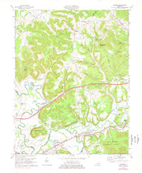
Editions of this 1970 Farmers Map
2 editions found
Other maps of this area

1929 · Morehead
USGS Topo · 1:48,000

1929 · Salt Lick
USGS Topo · 1:62,500

1934 · Salt Lick
USGS Topo · 1:62,500

1935 · Morehead
USGS Topo · 1:62,500

1951 · Cranston
USGS Topo · 1:24,000

1951 · Hillsboro
USGS Topo · 1:24,000

1951 · Plummers Landing
USGS Topo · 1:24,000

1953 · Olympia
USGS Topo · 1:24,000

1953 · Farmers
USGS Topo · 1:24,000

1953 · Bangor
USGS Topo · 1:24,000