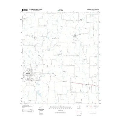
2013 Map of Farmersville
USGS Topo · Published 2013About this map
Farmersville serves as the primary hub in this Collin County landscape, where the street grid transitions into a vast network of county roads and agricultural lands. To the northeast, the smaller community of Merit is situated near the Merit Cem, surrounded by numerous creeks including Hickory Cr and W Caddo Cr. The area is notably dense with localized aviation and equestrian activity, evidenced by the Short Stop Airport, Fly-N-Ski Airport, and the Highmound Park Training Track.
Find a feature on this map
142 named features on this map. Tap any name to fly to it.
Don’t see what you’re looking for? This feature index may not catch every label — zoom into the map to look around manually.
Map Details
Editions of this 2013 Farmersville Map
This is the sole edition of this map. No revisions or reprints were ever made.
Other maps of this area

1924 · Farmersville 3-c
USGS Topo · 1:48,000

1930 · Farmersville
USGS Topo · 1:62,500

1954 · Sherman
USGS Topo · 1:250,000

1958 · Sherman
USGS Topo · 1:250,000

1960 · Blue Ridge
USGS Topo · 1:24,000

1960 · Pike
USGS Topo · 1:24,000

1960 · Culleoka
USGS Topo · 1:24,000

1962 · Greenville NW
USGS Topo · 1:24,000

1962 · Greenville SW
USGS Topo · 1:24,000

1962 · Farmersville
USGS Topo · 1:24,000