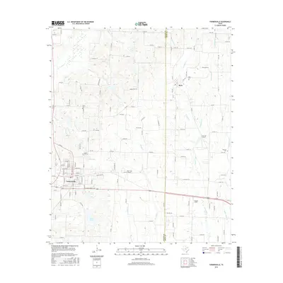
2016 Map of Farmersville
USGS Topo · Published 2016About this map
Farmersville serves as the primary hub in this corner of Northeast Texas, where the local landscape is defined by the headwaters of numerous creeks and several small reservoirs. The town's grid extends toward North Lake and South Lake, while the surrounding countryside in Collin Co and Hunt Co is dotted with legacy family burial grounds like Jones-Yeary Cem and Liberty Cem. The settlement of Merit sits to the northeast, anchoring a rural landscape crisscrossed by a dense network of county roads.
Find a feature on this map
126 named features on this map. Tap any name to fly to it.
Don’t see what you’re looking for? This feature index may not catch every label — zoom into the map to look around manually.
Map Details
Editions of this 2016 Farmersville Map
This is the sole edition of this map. No revisions or reprints were ever made.
Other maps of this area

1924 · Farmersville 3-c
USGS Topo · 1:48,000

1930 · Farmersville
USGS Topo · 1:62,500

1954 · Sherman
USGS Topo · 1:250,000

1958 · Sherman
USGS Topo · 1:250,000

1960 · Blue Ridge
USGS Topo · 1:24,000

1960 · Pike
USGS Topo · 1:24,000

1960 · Culleoka
USGS Topo · 1:24,000

1962 · Greenville NW
USGS Topo · 1:24,000

1962 · Greenville SW
USGS Topo · 1:24,000

1962 · Farmersville
USGS Topo · 1:24,000