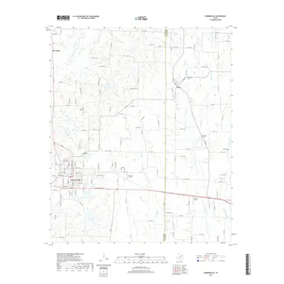
2019 Map of Farmersville
USGS Topo · Published 2019About this map
Farmersville and the surrounding blackland prairies of eastern Collin County are defined by a network of creeks and small aviation strips in this 2019 survey. The town of Farmersville serves as a focal point, situated just north of North Lake and South Lake, where the headwaters of Brushy Cr and Couskin Cr drain toward the south. The landscape is characterized by a high density of rural burial grounds, including Jones-Yeary Cem and Liberty Cem, providing essential points of interest for genealogists tracing local family histories.
Find a feature on this map
131 named features on this map. Tap any name to fly to it.
Don’t see what you’re looking for? This feature index may not catch every label — zoom into the map to look around manually.
Map Details
Editions of this 2019 Farmersville Map
This is the sole edition of this map. No revisions or reprints were ever made.
Other maps of this area

1924 · Farmersville 3-c
USGS Topo · 1:48,000

1930 · Farmersville
USGS Topo · 1:62,500

1954 · Sherman
USGS Topo · 1:250,000

1958 · Sherman
USGS Topo · 1:250,000

1960 · Blue Ridge
USGS Topo · 1:24,000

1960 · Pike
USGS Topo · 1:24,000

1960 · Culleoka
USGS Topo · 1:24,000

1962 · Greenville NW
USGS Topo · 1:24,000

1962 · Greenville SW
USGS Topo · 1:24,000

1962 · Farmersville
USGS Topo · 1:24,000