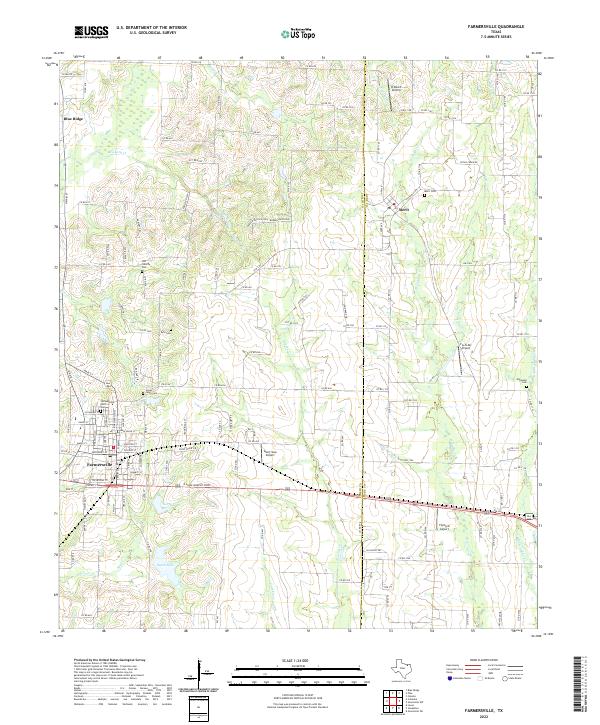
2022 Map of Farmersville
USGS Topo · Published 2022About this map
Farmersville and the surrounding blackland prairie of north Texas are depicted here during a period of sustained rural and small-town character. The landscape is defined by a dense network of county roads and family-linked landmarks, such as the Jones-Yeary Cem and the Old Liberty Cem, which provide significant touchpoints for genealogical research in Collin Co and Hunt Co. Hydrological features like North Lake, South Lake, and the numerous tributaries of W Caddo Cr and Indian Cr carve through the agricultural terrain, while small aviation strips like Short Stop Airport and Fly-N-Ski Airport highlight the modern utility of these open spaces. The settlement patterns around Blue Ridge and Merit show a region deeply connected by rural routes such as FM 2194, maintaining its identity as an agricultural hub.
Find a feature on this map
138 named features on this map. Tap any name to fly to it.
Don’t see what you’re looking for? This feature index may not catch every label — zoom into the map to look around manually.
Map Details
Editions of this 2022 Farmersville Map
This is the sole edition of this map. No revisions or reprints were ever made.
Other maps of this area

1924 · Farmersville 3-c
USGS Topo · 1:48,000

1930 · Farmersville
USGS Topo · 1:62,500

1954 · Sherman
USGS Topo · 1:250,000

1958 · Sherman
USGS Topo · 1:250,000

1960 · Blue Ridge
USGS Topo · 1:24,000

1960 · Pike
USGS Topo · 1:24,000

1960 · Culleoka
USGS Topo · 1:24,000

1962 · Greenville NW
USGS Topo · 1:24,000

1962 · Greenville SW
USGS Topo · 1:24,000

1962 · Farmersville
USGS Topo · 1:24,000