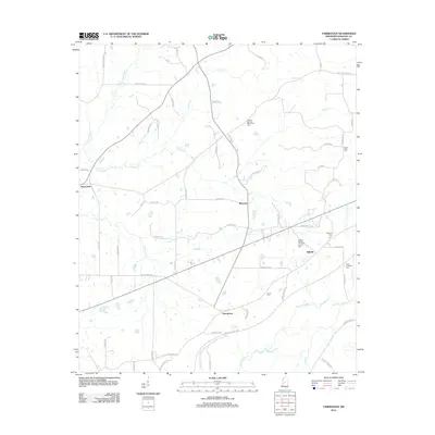
2012 Map of Farmhaven
USGS Topo · Published 2012About this map
Dancing Rabbit Cr and Lottville Cr thread through the rural communities of eastern Madison County in this 2012 survey. The landscape is defined by its small settlements, including Farmhaven, Millville, and Raytown, connected by a network of local roads such as Old Highway 16 and Raytown Rd. The map reveals a high density of family and community burial grounds, which are vital for genealogical research in this part of Mississippi. Notable sites include the Sulphur Springs Methodist Cem and the Eugene Garrett Memorial Garden Cem. The drainage pattern is complex, with Doaks Cr, Lott Cr, and Kentuckah Cr feeding into the local creek systems, illustrating the humid, water-rich environment of the region.
Find a feature on this map
64 named features on this map. Tap any name to fly to it.
Don’t see what you’re looking for? This feature index may not catch every label — zoom into the map to look around manually.
Map Details
Editions of this 2012 Farmhaven Map
This is the sole edition of this map. No revisions or reprints were ever made.
Other maps of this area

1953 · Meridian
USGS Topo · 1:250,000

1957 · Meridian
USGS Topo · 1:250,000

1960 · Sharon
USGS Topo · 1:62,500

1961 · Carthage
USGS Topo · 1:62,500

1962 · Thomastown
USGS Topo · 1:62,500

1964 · Camden
USGS Topo · 1:24,000

1965 · Meridian
USGS Topo · 1:250,000
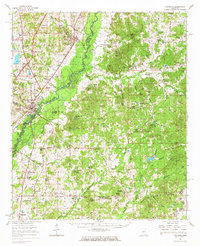
1966 · Goodman
USGS Topo · 1:62,500

1984 · Carthage
USGS Topo · 1:100,000
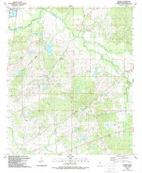
1988 · Sharon
USGS Topo · 1:24,000