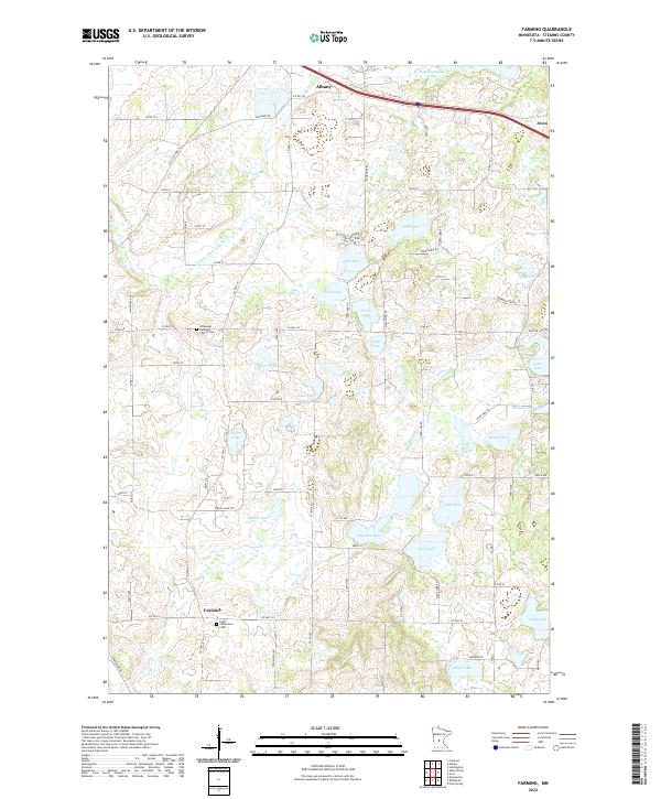
2022 Map of Farming
USGS Topo · Published 2022About this map
Farming sits at the heart of this central Minnesota landscape, a community defined by its quiet agrarian character and a dense network of glacial lakes. To the north, the larger hubs of Albany and Avon anchor the map along the Interstate corridor, while the surrounding townships remain dedicated to agriculture and local heritage. The map records several small spiritual and communal landmarks, such as Saint Catherine's Church and the Immanuel Lutheran Church Cem, which serve as long-standing pillars for local families.
Find a feature on this map
56 named features on this map. Tap any name to fly to it.
Don’t see what you’re looking for? This feature index may not catch every label — zoom into the map to look around manually.
Map Details
Editions of this 2022 Farming Map
This is the sole edition of this map. No revisions or reprints were ever made.
Other maps of this area

1953 · Saint Cloud
USGS Topo · 1:250,000

1957 · Saint Cloud
USGS Topo · 1:250,000

1958 · Saint Cloud
USGS Topo · 1:250,000

1965 · Albany
USGS Topo · 1:24,000

1965 · Farming
USGS Topo · 1:24,000

1965 · Holdingford
USGS Topo · 1:24,000

1965 · Freeport
USGS Topo · 1:24,000

1965 · St Martin
USGS Topo · 1:24,000

1965 · Avon
USGS Topo · 1:24,000

1967 · Cold Spring
USGS Topo · 1:24,000