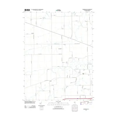
2012 Map of Farmingdale
USGS Topo · Published 2012About this map
Farmingdale sits at the heart of this Sangamon County landscape, where the agricultural patterns of central Illinois meet the westward reach of the state capital's rural fringe. The map documents a territory defined by its drainages, with Prairie Cr and Spring Cr carving gentle paths through a grid of long-established section lines and family-named roads. Notable for genealogists are several small burial grounds scattered across the township, including Farmington Cem and Anderson Cem to the north, alongside Old Salem Cem near the settlement of Riddle Hill. The influence of early transportation and industry is evident in labels like Richland Elevator Rd and N Lincoln Trl, reflecting the area's transition from a rail-dependent farming economy to a modern residential and agricultural hybrid. The presence of Willow Br and Archer Cr further illustrates the intricate creek network that historically dictated the placement of homesteads and early crossings.
Find a feature on this map
69 named features on this map. Tap any name to fly to it.
Don’t see what you’re looking for? This feature index may not catch every label — zoom into the map to look around manually.
Map Details
Editions of this 2012 Farmingdale Map
This is the sole edition of this map. No revisions or reprints were ever made.
Other maps of this area

1907 · Springfield
USGS Topo · 1:62,500

1909 · Tallula
USGS Topo · 1:62,500

1922 · Divernon
USGS Topo · 1:62,500

1924 · Divernon
USGS Topo · 1:62,500

1924 · Waverly
USGS Topo · 1:62,500

1926 · Waverly
USGS Topo · 1:62,500

1930 · Springfield
USGS Topo · 1:62,500

1940 · Tallula
USGS Topo · 1:62,500

1940 · Springfield
USGS Topo · 1:62,500

1950 · Springfield West
USGS Topo · 1:24,000