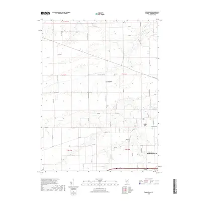
2018 Map of Farmingdale
USGS Topo · Published 2018About this map
Farmingdale and the surrounding agricultural landscapes of western Sangamon County are documented here in detail. This territory, defined by the winding paths of Spring Cr and Prairie Cr, shows a pattern of rural settlement where small communities like Richland and Riddle Hill are connected by a grid of farm-to-market roads. Several family and community burial grounds, including Anderson Cem and Morgan Cem, are preserved in the terrain, offering significant primary-source locations for genealogical research. The map also captures the western fringes of Springfield as urban development begins to meet the established township lines of t16n r6w. Local transit history is visible through named routes like Stagecoach Rd and N Old Covered Bridge Ln, which trace the evolution of travel in the Illinois heartland.
Find a feature on this map
73 named features on this map. Tap any name to fly to it.
Don’t see what you’re looking for? This feature index may not catch every label — zoom into the map to look around manually.
Map Details
Editions of this 2018 Farmingdale Map
This is the sole edition of this map. No revisions or reprints were ever made.
Other maps of this area

1907 · Springfield
USGS Topo · 1:62,500

1909 · Tallula
USGS Topo · 1:62,500

1922 · Divernon
USGS Topo · 1:62,500

1924 · Divernon
USGS Topo · 1:62,500

1924 · Waverly
USGS Topo · 1:62,500

1926 · Waverly
USGS Topo · 1:62,500

1930 · Springfield
USGS Topo · 1:62,500

1940 · Tallula
USGS Topo · 1:62,500

1940 · Springfield
USGS Topo · 1:62,500

1950 · Springfield West
USGS Topo · 1:24,000