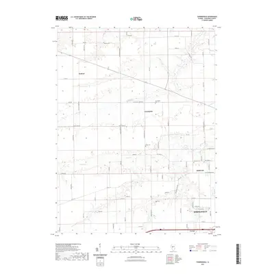
2021 Map of Farmingdale
USGS Topo · Published 2021About this map
Farmingdale and Richland anchor the agricultural landscape west of the Illinois state capital. This survey of Sangamon County shows a transition from rural farmland to the western edges of Springfield, with traditional landmarks such as the Farmingdale Cemetery and Old Salem Cemetery providing key points of reference for local family history. The terrain is defined by the winding paths of Spring Creek and Prairie Creek, which drain the low-lying prairie ground between the dispersed settlements of Riddle Hill and Curran. Transportation history is embedded in the road network, from named family routes like Taylor Homestead Road to the presence of the Richland Elevator Road, signaling the area's long-standing reliance on grain handling and rail-adjacent transit hubs.
Find a feature on this map
73 named features on this map. Tap any name to fly to it.
Don’t see what you’re looking for? This feature index may not catch every label — zoom into the map to look around manually.
Map Details
Editions of this 2021 Farmingdale Map
This is the sole edition of this map. No revisions or reprints were ever made.
Other maps of this area

1907 · Springfield
USGS Topo · 1:62,500

1909 · Tallula
USGS Topo · 1:62,500

1922 · Divernon
USGS Topo · 1:62,500

1924 · Divernon
USGS Topo · 1:62,500

1924 · Waverly
USGS Topo · 1:62,500

1926 · Waverly
USGS Topo · 1:62,500

1930 · Springfield
USGS Topo · 1:62,500

1940 · Tallula
USGS Topo · 1:62,500

1940 · Springfield
USGS Topo · 1:62,500

1950 · Springfield West
USGS Topo · 1:24,000