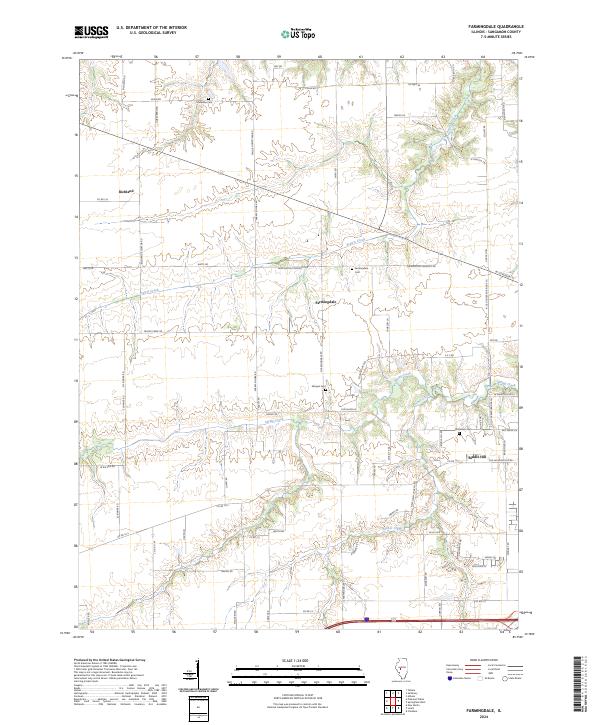
2024 Map of Farmingdale
USGS Topo · Published 2024About this map
Richland and Farmingdale anchor this Sangamon County landscape, characterized by the winding drainages of Prairie Creek, Spring Creek, and Archer Creek. The area’s agricultural roots and local lineage are visible through several distinct burial grounds, including the centrally located Farmington Cemetery Cem and the peripheral Anderson Cem. The transportation network is a blend of traditional county routes and modern connections, with names like Richland Elevator Rd and N Old Covered Bridge Ln hinting at the former industrial and river-crossing infrastructure that supported the local economy. To the southeast, the settlement of Riddle Hill sits near the junction of several historic corridors, including Old Salem Ln, providing a detailed look at the contemporary rural development and land use patterns in this part of Illinois.
Find a feature on this map
70 named features on this map. Tap any name to fly to it.
Don’t see what you’re looking for? This feature index may not catch every label — zoom into the map to look around manually.
Map Details
Editions of this 2024 Farmingdale Map
This is the sole edition of this map. No revisions or reprints were ever made.
Other maps of this area

1907 · Springfield
USGS Topo · 1:62,500

1909 · Tallula
USGS Topo · 1:62,500

1922 · Divernon
USGS Topo · 1:62,500

1924 · Divernon
USGS Topo · 1:62,500

1924 · Waverly
USGS Topo · 1:62,500

1926 · Waverly
USGS Topo · 1:62,500

1930 · Springfield
USGS Topo · 1:62,500

1940 · Tallula
USGS Topo · 1:62,500

1940 · Springfield
USGS Topo · 1:62,500

1950 · Springfield West
USGS Topo · 1:24,000