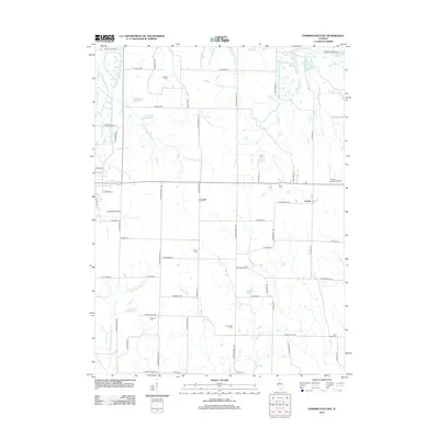
2012 Map of Farmington East
USGS Topo · Published 2012About this map
Agricultural lands and rural communities in Fulton and Peoria Counties define this area as it appeared in the early 21st century. The settlement of Trivoli sits along a primary east-west corridor, serving as a focal point for the surrounding farmstead network, while the small hamlet of Cramer lies just to the west. The landscape is deeply carved by watercourses including W Fork Kickapoo Cr and Tiber Cr, which drain into several localized water bodies such as Grahams Lake and Lake Holiday.
Find a feature on this map
68 named features on this map. Tap any name to fly to it.
Don’t see what you’re looking for? This feature index may not catch every label — zoom into the map to look around manually.
Map Details
Editions of this 2012 Farmington East Map
This is the sole edition of this map. No revisions or reprints were ever made.
Other maps of this area

1912 · Canton
USGS Topo · 1:62,500

1930 · Glasford
USGS Topo · 1:62,500

1941 · Maquon
USGS Topo · 1:62,500

1943 · Maquon
USGS Topo · 1:62,500

1944 · Elmwood
USGS Topo · 1:62,500

1948 · Elmwood
USGS Topo · 1:62,500

1948 · Glasford
USGS Topo · 1:62,500

1958 · Burlington
USGS Topo · 1:250,000

1958 · Peoria
USGS Topo · 1:250,000

1961 · Burlington
USGS Topo · 1:250,000