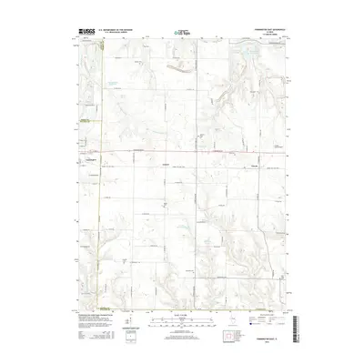
2015 Map of Farmington East
USGS Topo · Published 2015About this map
Farmington and the smaller settlements of Cramer and Trivoli anchor this portion of the Illinois landscape where Fulton, Peoria, and Knox counties converge. The terrain is defined by the winding course of W Fork Kickapoo Cr and Middle Br Copperas Cr, interspersed with numerous water bodies including Lake Holiday and Grahams Lake. A significant cultural feature is the Hanna City Rail-Trail, which follows a former rail corridor through the heart of the region, passing just south of the Gordon Brown Airport. Genealogists and local historians will find a high density of burial sites across the township, including Brunswick Cem, Trivoli Cem, and the family-named Watkins Cem. The placement of these cemeteries and the local road network, such as N Stone School Rd and Dogtown Ln, reflects a long-established rural community structured around small agricultural hubs and natural water sources.
Find a feature on this map
76 named features on this map. Tap any name to fly to it.
Don’t see what you’re looking for? This feature index may not catch every label — zoom into the map to look around manually.
Map Details
Editions of this 2015 Farmington East Map
This is the sole edition of this map. No revisions or reprints were ever made.
Other maps of this area

1912 · Canton
USGS Topo · 1:62,500

1930 · Glasford
USGS Topo · 1:62,500

1941 · Maquon
USGS Topo · 1:62,500

1943 · Maquon
USGS Topo · 1:62,500

1944 · Elmwood
USGS Topo · 1:62,500

1948 · Elmwood
USGS Topo · 1:62,500

1948 · Glasford
USGS Topo · 1:62,500

1958 · Burlington
USGS Topo · 1:250,000

1958 · Peoria
USGS Topo · 1:250,000

1961 · Burlington
USGS Topo · 1:250,000