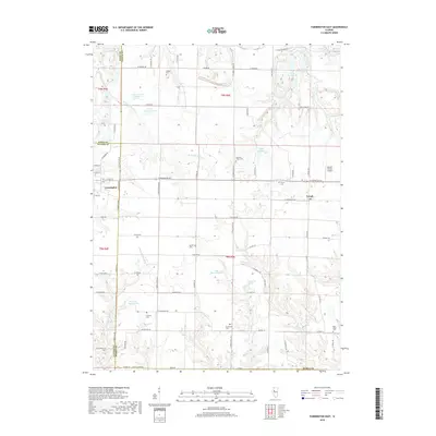
2018 Map of Farmington East
USGS Topo · Published 2018About this map
Farmington and Trivoli anchor this landscape along the boundary of Fulton and Peoria counties, where agricultural fields are deeply incised by the drainage of the West Fork Kickapoo Creek and Middle Branch Copperas Creek. The area is notable for its numerous small burial grounds that mark the rural heritage of the region, including Watkins Cemetery and Harkness Grove Cemetery. Evidence of local water management and industry is visible in features like Slurry Lake Number 1 and Fresh Water Lake in the northeast, while recreation and community life are represented by Lake Holiday and Glenview Farms Lake. A single aviation landmark, Gordon Brown Airport, is located just east of Trivoli, serving this quiet stretch of central Illinois prairie.
Find a feature on this map
86 named features on this map. Tap any name to fly to it.
Don’t see what you’re looking for? This feature index may not catch every label — zoom into the map to look around manually.
Map Details
Editions of this 2018 Farmington East Map
This is the sole edition of this map. No revisions or reprints were ever made.
Other maps of this area

1912 · Canton
USGS Topo · 1:62,500

1930 · Glasford
USGS Topo · 1:62,500

1941 · Maquon
USGS Topo · 1:62,500

1943 · Maquon
USGS Topo · 1:62,500

1944 · Elmwood
USGS Topo · 1:62,500

1948 · Elmwood
USGS Topo · 1:62,500

1948 · Glasford
USGS Topo · 1:62,500

1958 · Burlington
USGS Topo · 1:250,000

1958 · Peoria
USGS Topo · 1:250,000

1961 · Burlington
USGS Topo · 1:250,000