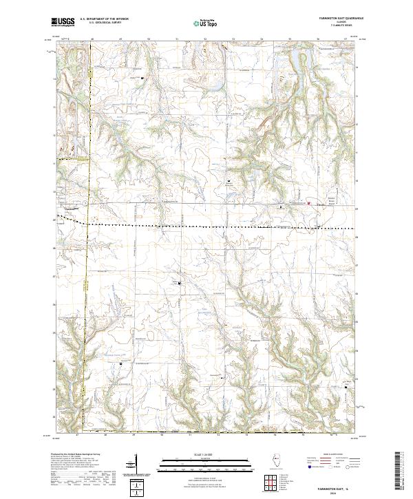
2024 Map of Farmington East
USGS Topo · Published 2024About this map
Farmington and Trivoli anchor this landscape along the border of Peoria and Fulton counties, where the prairie gives way to the carved valleys of West Fork Kickapoo Creek and Tiber Creek. The terrain is defined by a dense network of country roads like N Stone School Rd and Dogtown Ln, connecting established farming communities and numerous family burial grounds including Watkins Cem and Harkness Grove Cem.
Find a feature on this map
87 named features on this map. Tap any name to fly to it.
Don’t see what you’re looking for? This feature index may not catch every label — zoom into the map to look around manually.
Map Details
Editions of this 2024 Farmington East Map
This is the sole edition of this map. No revisions or reprints were ever made.
Other maps of this area

1912 · Canton
USGS Topo · 1:62,500

1930 · Glasford
USGS Topo · 1:62,500

1941 · Maquon
USGS Topo · 1:62,500

1943 · Maquon
USGS Topo · 1:62,500

1944 · Elmwood
USGS Topo · 1:62,500

1948 · Elmwood
USGS Topo · 1:62,500

1948 · Glasford
USGS Topo · 1:62,500

1958 · Burlington
USGS Topo · 1:250,000

1958 · Peoria
USGS Topo · 1:250,000

1961 · Burlington
USGS Topo · 1:250,000