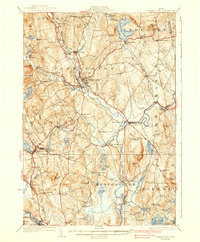
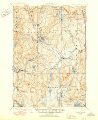
1924 Map of Farmington
USGS Topo · Published 1938About this map
The Sandy River corridor serves as the industrial and social backbone of this central Maine landscape, where the confluence of water power and rail transit shaped early 20th-century life. The Maine Central and the Rangeley Lakes and Sandy River lines connect prominent mill sites and farming hubs, including Farmington and West Farmington. This era shows a high density of rural education, with dozens of neighborhood schoolhouses such as Sprague School and Borough School serving small clusters of homes at crossroads like Knowltons Corner.
Find a feature on this map
99 named features on this map. Tap any name to fly to it.
Don’t see what you’re looking for? This feature index may not catch every label — zoom into the map to look around manually.
Map Details
Editions of this 1924 Farmington Map
6 editions found
Other maps of this area

1892 · Augusta
USGS Topo · 1:62,500

1894 · Norridgewock
USGS Topo · 1:62,500

1898 · Norridgewock
USGS Topo · 1:62,500

1904 · Anson
USGS Topo · 1:62,500

1910 · Livermore
USGS Topo · 1:62,500

1911 · Buckfield
USGS Topo · 1:62,500

1912 · Livermore
USGS Topo · 1:62,500

1913 · Buckfield
USGS Topo · 1:62,500

1924 · Farmington
USGS Topo · 1:62,500

1926 · Dixfield
USGS Topo · 1:62,500