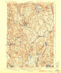
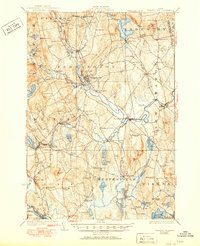
1924 Map of Farmington
USGS Topo · Published 1944About this map
Farmington and Wilton anchor this riverine landscape in the early 1920s, serving as vital hubs where the Maine Central and the narrow-gauge Sandy River and Rangeley Lakes RR meet. The Sandy River snakes through the center of the region, its valley dotted with specialized settlements like Farmington Falls and Bullen Mills. The rural infrastructure is remarkably dense, recorded here through a network of one-room schoolhouses such as the Blanchard School, Stubbs Mill School, and Withee School that served outlying farmsteads.
Find a feature on this map
101 named features on this map. Tap any name to fly to it.
Don’t see what you’re looking for? This feature index may not catch every label — zoom into the map to look around manually.
Map Details
Editions of this 1924 Farmington Map
6 editions found
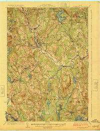
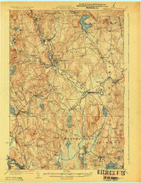
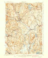
Other maps of this area

1892 · Augusta
USGS Topo · 1:62,500

1894 · Norridgewock
USGS Topo · 1:62,500

1898 · Norridgewock
USGS Topo · 1:62,500

1904 · Anson
USGS Topo · 1:62,500

1910 · Livermore
USGS Topo · 1:62,500

1911 · Buckfield
USGS Topo · 1:62,500

1912 · Livermore
USGS Topo · 1:62,500

1913 · Buckfield
USGS Topo · 1:62,500

1924 · Farmington
USGS Topo · 1:62,500

1926 · Dixfield
USGS Topo · 1:62,500