
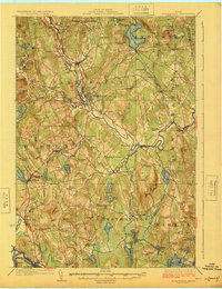
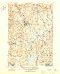
1924 Map of Farmington
USGS Topo · Published 1924About this map
Farmington serves as the focal point of this 1920s river-valley survey, situated where the Sandy River winds through central Franklin County. The landscape is defined by a dense network of early 20th-century industry and infrastructure, notably the narrow-gauge Sandy River and Rangeley Lakes RR and the Maine Central line. Local commerce is anchored by several distinct mill settlements, including Allens Mills, Bullen Mills, and the Powderhouse Mill.
Find a feature on this map
104 named features on this map. Tap any name to fly to it.
Don’t see what you’re looking for? This feature index may not catch every label — zoom into the map to look around manually.
Map Details
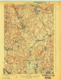
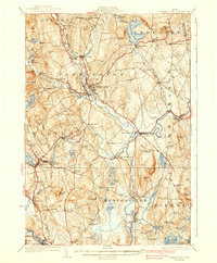
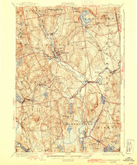
Editions of this 1924 Farmington Map
6 editions found
Other maps of this area

1892 · Augusta
USGS Topo · 1:62,500

1894 · Norridgewock
USGS Topo · 1:62,500

1898 · Norridgewock
USGS Topo · 1:62,500

1904 · Anson
USGS Topo · 1:62,500

1910 · Livermore
USGS Topo · 1:62,500

1911 · Buckfield
USGS Topo · 1:62,500

1912 · Livermore
USGS Topo · 1:62,500

1913 · Buckfield
USGS Topo · 1:62,500

1926 · Dixfield
USGS Topo · 1:62,500

1929 · Phillips
USGS Topo · 1:48,000