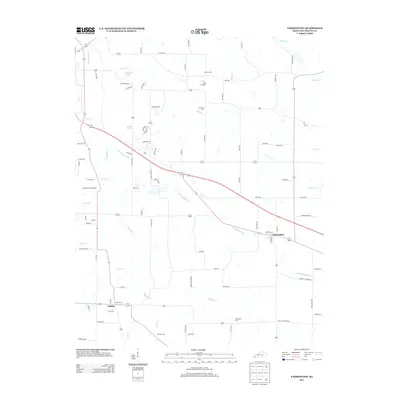
2013 Map of Farmington
USGS Topo · Published 2013About this map
Farmington and Sedalia anchor this portion of Graves County, Kentucky, showcasing a rural landscape defined by complex creek networks and generational family sites. The drainage pattern is led by the winding path of Mayfield Cr and its significant tributary, Little Mayfield Cr, which cuts through the center of the region. Scattered throughout these drainages are numerous family and community burial grounds, such as Smyrna Cem, Galloway Cem, and Bean Cem, providing vital geographic anchors for genealogical research in this part of the state.
Find a feature on this map
54 named features on this map. Tap any name to fly to it.
Don’t see what you’re looking for? This feature index may not catch every label — zoom into the map to look around manually.
Map Details
Editions of this 2013 Farmington Map
This is the sole edition of this map. No revisions or reprints were ever made.
Other maps of this area

1936 · Farmington
USGS Topo · 1:24,000

1936 · Oak Level
USGS Topo · 1:24,000

1936 · Lynn Grove
USGS Topo · 1:24,000

1936 · Benton
USGS Topo · 1:48,000

1936 · Westplains
USGS Topo · 1:24,000

1936 · Kirksey
USGS Topo · 1:24,000

1951 · Kirksey
USGS Topo · 1:24,000

1951 · Farmington
USGS Topo · 1:24,000
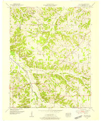
1951 · Oak Level
USGS Topo · 1:24,000

1951 · Hickory
USGS Topo · 1:24,000