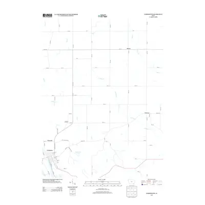
2013 Map of Farmington
USGS Topo · Published 2013About this map
The Des Moines River anchors the southwestern corner of this Iowa landscape, where the settlement of Farmington is situated along its eastern bank. The town's grid is clearly defined, bordered by Indian Lake and adjacent to the small community of Plymouth. This 2013 survey illustrates a rural transition from riverfront commerce to the upland agriculture of Van Buren County. Moving northeast, the terrain is shaped by an intricate drainage system including Lick Cr and Little Sugar Cr, which weave through a network of section-line roads and timbered pockets like Shimek Forest Pond Two. Historically significant place names such as Sharon and Primrose persist as crossroads in this agricultural heartland. The presence of Coal Mine Hollow Dr points to the area's subterranean resource history, while the Riverview Campground reflects the modern recreational value of the river valley.
Find a feature on this map
70 named features on this map. Tap any name to fly to it.
Don’t see what you’re looking for? This feature index may not catch every label — zoom into the map to look around manually.
Map Details
Editions of this 2013 Farmington Map
This is the sole edition of this map. No revisions or reprints were ever made.
Other maps of this area

1958 · Burlington
USGS Topo · 1:250,000

1961 · Burlington
USGS Topo · 1:250,000

1963 · Burlington
USGS Topo · 1:250,000

1968 · Anson
USGS Topo · 1:24,000

1968 · Bonaparte
USGS Topo · 1:24,000
1968 · Argyle
USGS Topo · 1:24,000

1968 · Donnellson
USGS Topo · 1:24,000
1968 · Croton
USGS Topo · 1:24,000

1968 · Farmington
USGS Topo · 1:24,000
1981 · Salem
USGS Topo · 1:24,000