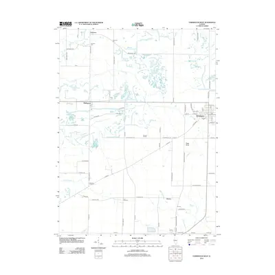
2012 Map of Farmington West
USGS Topo · Published 2012About this map
Farmington serves as the primary municipal hub in this western Illinois landscape, where the town layout is clearly defined alongside Oak Ridge Cem. The surrounding countryside is dotted with small, historically significant settlements like Uniontown, Middlegrove, and Gilchrist, each connected by a grid of rural routes such as Knox Highway 22 and N Norris Blacktop Rd.
Find a feature on this map
72 named features on this map. Tap any name to fly to it.
Don’t see what you’re looking for? This feature index may not catch every label — zoom into the map to look around manually.
Map Details
Editions of this 2012 Farmington West Map
This is the sole edition of this map. No revisions or reprints were ever made.
Other maps of this area

1912 · Canton
USGS Topo · 1:62,500

1930 · Glasford
USGS Topo · 1:62,500

1941 · Maquon
USGS Topo · 1:62,500

1943 · Maquon
USGS Topo · 1:62,500

1944 · Elmwood
USGS Topo · 1:62,500

1948 · Elmwood
USGS Topo · 1:62,500

1948 · Glasford
USGS Topo · 1:62,500

1958 · Burlington
USGS Topo · 1:250,000

1958 · Peoria
USGS Topo · 1:250,000

1961 · Burlington
USGS Topo · 1:250,000