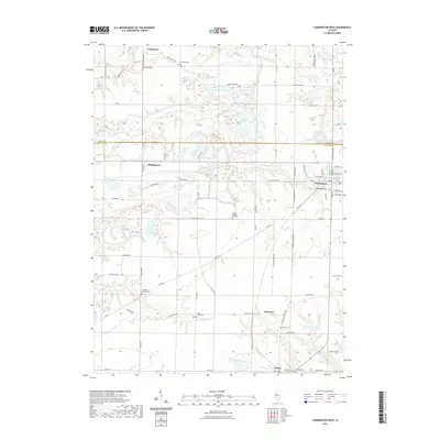
2021 Map of Farmington West
USGS Topo · Published 2021About this map
Farmington anchors the eastern edge of this landscape, where the street grid of the town center meets the agricultural expanse of western Fulton Co. The map reveals a high density of rural burial grounds, including Oak Ridge Cem, Providence Chapel Cem, and Coal Creek Cem, which serve as vital markers for local genealogical research. Small settlements like Uniontown, Middlegrove, and Gilchrist are scattered throughout the territory, connected by a network of rural routes such as Bear School Rd and Co Rd 3500 N.
Find a feature on this map
73 named features on this map. Tap any name to fly to it.
Don’t see what you’re looking for? This feature index may not catch every label — zoom into the map to look around manually.
Map Details
Editions of this 2021 Farmington West Map
This is the sole edition of this map. No revisions or reprints were ever made.
Other maps of this area

1912 · Canton
USGS Topo · 1:62,500

1930 · Glasford
USGS Topo · 1:62,500

1941 · Maquon
USGS Topo · 1:62,500

1943 · Maquon
USGS Topo · 1:62,500

1944 · Elmwood
USGS Topo · 1:62,500

1948 · Elmwood
USGS Topo · 1:62,500

1948 · Glasford
USGS Topo · 1:62,500

1958 · Burlington
USGS Topo · 1:250,000

1958 · Peoria
USGS Topo · 1:250,000

1961 · Burlington
USGS Topo · 1:250,000