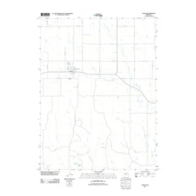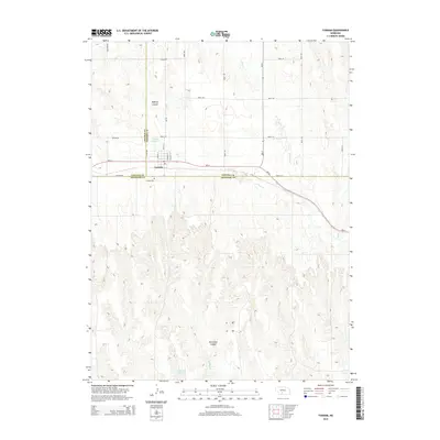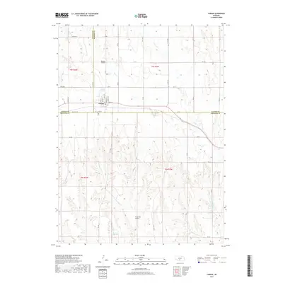
1970 Map of Farnam
USGS Topo · Published 1973About this map
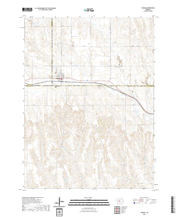
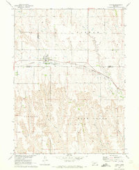
Farnam sits at the junction of three Nebraska counties, serving as a vital rail point on the Burlington Northern line during the early 1970s. The landscape is defined by the sharp transition from the flat agricultural tablelands of Peckham and Farnam townships into the deeply dissected drainage basins of Plum Creek and West Muddy Creek. This topographic variation highlights the challenges of early prairie transportation, where the railroad follows the natural contour of the ridge to avoid the heavy erosion patterns of the Russell and Plum Creek areas. Local landmarks such as the Farnam Cem and various wells dot the countryside, reflecting the rural infrastructure necessary for survival in this semi-arid region. A Gaging Sta on the creek indicates the ongoing importance of water management within the Missouri River Basin development program.
Find a feature on this map
15 named features on this map. Tap any name to fly to it.
Don’t see what you’re looking for? This feature index may not catch every label — zoom into the map to look around manually.
Map Details
Editions of this 1970 Farnam Map
This is the sole edition of this map. No revisions or reprints were ever made.
Historical Maps of Farnam Through Time
5 maps found