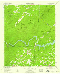
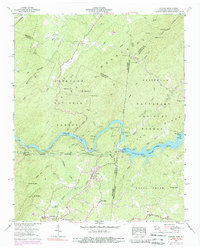
1957 Map of Farner
USGS Topo · Published 1959About this map
Apalachia Dam and the winding course of the Hiwassee River anchor this topographic study of the Tennessee and North Carolina borderlands. The landscape is defined by the high ridges of the Unicoi Mountains and Beaverdam Mountain, split between the Cherokee National Forest and Nantahala National Forest. The tracks of the Louisville and Nashville railroad trace the river valley, connecting the small settlements of Farner and Ironsburg. Local life in these mountain hollows is marked by rural landmarks such as Cataska Sch, Ironsburg Ch, and family-named sites like Brock Cem. The survey illustrates the engineering of the Tennessee Valley Authority, showing the transition from the river's natural flow into the expanse of Apalachia Lake. High-altitude points like Buck Bald 2348, complete with a lookout tower, offer a sense of the area's verticality and isolation in the late 1950s.
Find a feature on this map
74 named features on this map. Tap any name to fly to it.
Don’t see what you’re looking for? This feature index may not catch every label — zoom into the map to look around manually.
Map Details
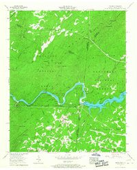
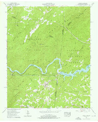
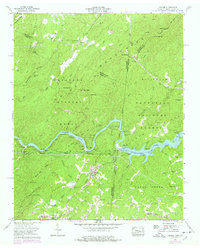
Editions of this 1957 Farner Map
6 editions found
Other maps of this area

1893 · Murphy
USGS Topo · 1:125,000

1914 · Murphy
USGS Topo · 1:125,000

1933 · Haw Knob
USGS Topo · 1:48,000

1933 · Bald River Falls
USGS Topo · 1:24,000

1934 · Mecca
USGS Topo · 1:24,000

1934 · Persimmon Creek
USGS Topo · 1:24,000

1934 · Unaka
USGS Topo · 1:24,000

1934 · Murphy
USGS Topo · 1:48,000

1934 · Tellico Plains
USGS Topo · 1:24,000

1935 · Tellico
USGS Topo · 1:48,000