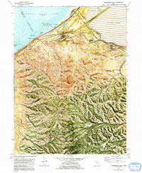
1972 Map of Farnsworth Peak
USGS Topo · Published 1991About this map
The Oquirrh Mountains meet the southern shores of the Great Salt Lake in this 1970s record of Utah’s industrial and recreational landscape. The northern edge of the range is heavily transformed by industrial activity, marked by a massive Tailings Pond, an extensive Mining Railroad network, and the Smokestacks that once defined the horizon near Garfield (Site). Further west, the map documents the transition to lakeside leisure at Sunset Beach and Silver Sands Beach, alongside the historical settlement of Lake Point. High in the interior peaks, significant infrastructure is noted at Farnsworth Peak and Kessler Peak, both serving as critical sites for a Radio Tower and television Radio Facility (KMSL TV). This survey captures the intense intersection of heavy industry, transportation corridors like Interstate 80, and the natural geography of the salt flats.
Find a feature on this map
66 named features on this map. Tap any name to fly to it.
Don’t see what you’re looking for? This feature index may not catch every label — zoom into the map to look around manually.
Map Details
Editions of this 1972 Farnsworth Peak Map
4 editions found
Other maps of this area

1885 · Tooele Valley
USGS Topo · 1:250,000

1951 · Saltair
USGS Topo · 1:24,000

1952 · Magna
USGS Topo · 1:24,000

1952 · Bingham Canyon
USGS Topo · 1:24,000

1952 · Antelope Island South
USGS Topo · 1:24,000
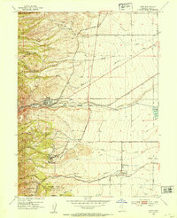
1952 · Lark
USGS Topo · 1:24,000

1952 · Garfield
USGS Topo · 1:24,000

1953 · Tooele
USGS Topo · 1:250,000

1955 · Mills Junction
USGS Topo · 1:24,000

1955 · Tooele
USGS Topo · 1:250,000