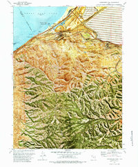
1972 Map of Farnsworth Peak
USGS Topo · Published 1984About this map
Industrial infrastructure and the shoreline of the Great Salt Lake define this 1970s orthophotomap. Massive tailings ponds and a complex network of heavy rail line the base of the Oquirrh Mountains, where the Union Pacific Railroad and Denver and Rio Grande Western Railroad converge near the Garfield (Site). The industrial footprint is evident through numerous smokestacks, water tanks, and a Slag Dump along the coast, contrasting with recreational areas like Silver Sands Beach and Sunset Beach.
Find a feature on this map
47 named features on this map. Tap any name to fly to it.
Don’t see what you’re looking for? This feature index may not catch every label — zoom into the map to look around manually.
Map Details
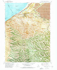
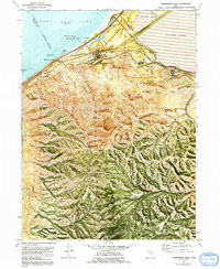
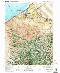
Editions of this 1972 Farnsworth Peak Map
4 editions found
Other maps of this area

1885 · Tooele Valley
USGS Topo · 1:250,000

1951 · Saltair
USGS Topo · 1:24,000

1952 · Magna
USGS Topo · 1:24,000

1952 · Bingham Canyon
USGS Topo · 1:24,000

1952 · Antelope Island South
USGS Topo · 1:24,000
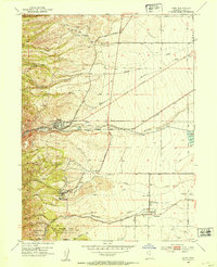
1952 · Lark
USGS Topo · 1:24,000

1952 · Garfield
USGS Topo · 1:24,000

1953 · Tooele
USGS Topo · 1:250,000

1955 · Mills Junction
USGS Topo · 1:24,000

1955 · Tooele
USGS Topo · 1:250,000