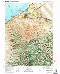
1972 Map of Farnsworth Peak
USGS Topo · Published 1991About this map
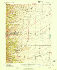
Industrial expansion and high-altitude topography meet along the southern shores of the Great Salt Lake in this orthophotomap. The northern edge of the Oquirrh Mountains is dominated by massive mining operations, evident in the expansive tailings pond and network of railroads serving the smelting facilities near Arthur. The map documents the industrial footprint at Garfield (Site), where a complex of Smokestacks, a Sewage Disposal plant, and an Aqueduct trace the infrastructure of the era. Southward, the terrain rises sharply toward Farnsworth Peak and Kessler Peak, where narrow canyons like Rogers Canyon and Black Rock Canyon cut through the range. These peaks, now centers for communication as indicated by the Radio Tower and Radio Facility, overlook the transition from the alkali or mud flats of the shoreline to the high-elevation flats of Rosebud Flat and Soldier Bench.
Find a feature on this map
65 named features on this map. Tap any name to fly to it.
Don’t see what you’re looking for? This feature index may not catch every label — zoom into the map to look around manually.
Map Details
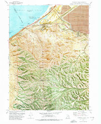
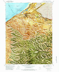
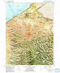
Editions of this 1972 Farnsworth Peak Map
4 editions found
Other maps of this area

1885 · Tooele Valley
USGS Topo · 1:250,000

1951 · Saltair
USGS Topo · 1:24,000

1952 · Magna
USGS Topo · 1:24,000

1952 · Bingham Canyon
USGS Topo · 1:24,000

1952 · Antelope Island South
USGS Topo · 1:24,000
1952 · Lark
USGS Topo · 1:24,000

1952 · Garfield
USGS Topo · 1:24,000

1953 · Tooele
USGS Topo · 1:250,000

1955 · Mills Junction
USGS Topo · 1:24,000

1955 · Tooele
USGS Topo · 1:250,000