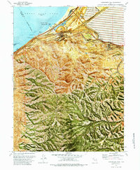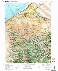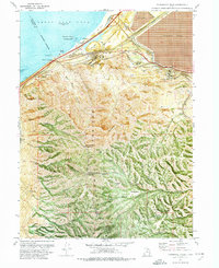
1972 Map of Farnsworth Peak
USGS Topo · Published 1974This historical map portrays the area of Farnsworth Peak in 1972, primarily covering Salt Lake County as well as portions of Tooele County. Featuring a scale of 1:24000, this map provides a highly detailed snapshot of the terrain, roads, buildings, counties, and historical landmarks in the Farnsworth Peak region at the time. Published in 1974, it is one of 4 known editions of this map due to revisions or reprints.
Map Details
Editions of this 1972 Farnsworth Peak Map
4 editions found
Historical Maps of Salt Lake County Through Time
30 maps found
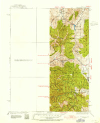
1925 Ft. Douglas
Salt Lake County, UT
1928 Ft. Douglas
Salt Lake County, UT
1950 Fort Douglas
Salt Lake County, UT
1951 Fort Douglas
Salt Lake County, UT
1951 Jones Narrows
Salt Lake County, UT
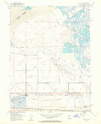
1951 Saltair
Salt Lake County, UT
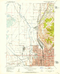
1951 Salt Lake City North
Salt Lake County, UT
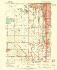
1951 Salt Lake City South
Salt Lake County, UT
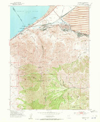
1952 Garfield
Salt Lake County, UT
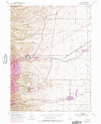
1952 Lark
Salt Lake County, UT
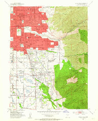
1952 Sugar House
Salt Lake County, UT
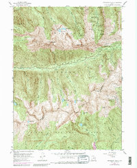
1955 Dromedary Peak
Salt Lake County, UT
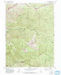
1955 Mount Aire
Salt Lake County, UT
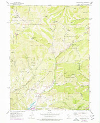
1961 Mountain Dell
Salt Lake County, UT
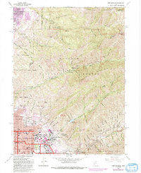
1963 Fort Douglas
Salt Lake County, UT
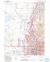
1963 Salt Lake City North
Salt Lake County, UT
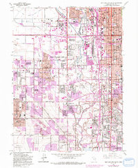
1963 Salt Lake City South
Salt Lake County, UT
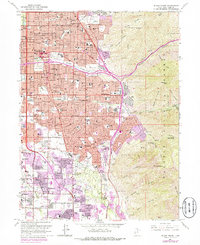
1963 Sugar House
Salt Lake County, UT
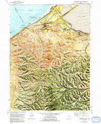
1972 Farnsworth Peak
Salt Lake County, UT
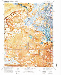
1972 Saltair
Salt Lake County, UT
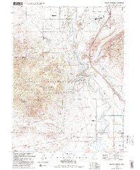
1993 Jordan Narrows
Salt Lake County, UT
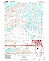
1997 Baileys Lake
Salt Lake County, UT
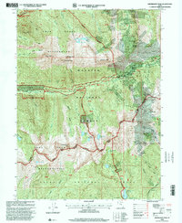
1998 Dromedary Peak
Salt Lake County, UT
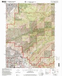
1998 Fort Douglas
Salt Lake County, UT
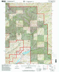
1998 Mountain Dell
Salt Lake County, UT
1998 Mount Aire
Salt Lake County, UT
1998 Salt Lake City North
Salt Lake County, UT
1998 Sugar House
Salt Lake County, UT
1999 Jordan Narrows
Salt Lake County, UT
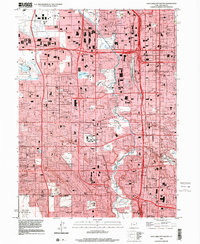
1999 Salt Lake City South
Salt Lake County, UT
