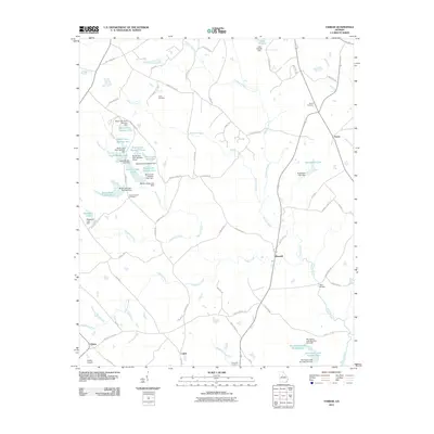
2011 Map of Farrar
USGS Topo · Published 2011About this map
Murder Creek and its many tributaries, including Pittman Branch and Robinson Creek, define the topography of this Jasper County landscape. The settlement of Farrar sits in the northeast corner, while the small communities of Maxwell, Calvin, and Palato are distributed along the rural road network. A high concentration of managed water bodies, such as the Boyle Lake series and Quailwood Lake, suggests a landscape shaped by agricultural and recreational pond construction.
Find a feature on this map
78 named features on this map. Tap any name to fly to it.
Don’t see what you’re looking for? This feature index may not catch every label — zoom into the map to look around manually.
Map Details
Editions of this 2011 Farrar Map
This is the sole edition of this map. No revisions or reprints were ever made.
Other maps of this area

1896 · Monroe
USGS Topo · 1:125,000

1953 · Athens
USGS Topo · 1:250,000

1958 · Athens
USGS Topo · 1:250,000

1959 · Athens
USGS Topo · 1:250,000

1963 · Athens
USGS Topo · 1:250,000

1964 · Lloyd Shoals Dam
USGS Topo · 1:24,000

1964 · Stewart
USGS Topo · 1:24,000

1964 · Covington
USGS Topo · 1:24,000

1972 · Monticello
USGS Topo · 1:24,000

1972 · Shady Dale
USGS Topo · 1:24,000