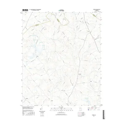
2017 Map of Farrar
USGS Topo · Published 2017About this map
Farrar and Maxwell anchor this section of Georgia, where the boundaries of Newton, Jasper, and Morgan counties converge. The landscape is defined by the winding course of Murder Creek and its tributaries, including Pittman Cr and Sheppard Cr. This modern survey reveals a highly developed system of water management, evidenced by the series of reservoirs known as Boyle Lake Number One through Boyle Lake Number Five, alongside Boyle Murder Lake and Murder Cr Lake. For those researching family history, several burial grounds are preserved across the terrain, including Shiloh Cem near the eastern border and Hopewell Cem to the south. The road network, including Murder Creek Church Rd and Shady Grove Church Rd, points to the community hubs that have historically organized this rural landscape.
Find a feature on this map
94 named features on this map. Tap any name to fly to it.
Don’t see what you’re looking for? This feature index may not catch every label — zoom into the map to look around manually.
Map Details
Editions of this 2017 Farrar Map
This is the sole edition of this map. No revisions or reprints were ever made.
Other maps of this area

1896 · Monroe
USGS Topo · 1:125,000

1953 · Athens
USGS Topo · 1:250,000

1958 · Athens
USGS Topo · 1:250,000

1959 · Athens
USGS Topo · 1:250,000

1963 · Athens
USGS Topo · 1:250,000

1964 · Lloyd Shoals Dam
USGS Topo · 1:24,000

1964 · Stewart
USGS Topo · 1:24,000

1964 · Covington
USGS Topo · 1:24,000

1972 · Monticello
USGS Topo · 1:24,000

1972 · Shady Dale
USGS Topo · 1:24,000