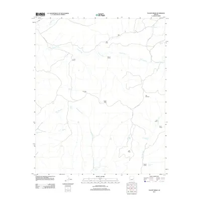
2011 Map of Faught Ridge
USGS Topo · Published 2011About this map
Faught Ridge Lookout stands as a central landmark in this high-elevation landscape within Navajo County, monitoring the vast network of drainage basins and ridges during the early 21st century. The terrain is defined by a series of deep canyons and water-management features, including Corduroy Creek and its many tributaries like Middle Cedar Creek and West Cedar Creek. The map documents a ranching and conservation infrastructure represented by numerous tanks and springs, such as Salt Tank, Petrified Tank, and Bear Playground Spring. Settled life is sparse, centered primarily around West Ranch in the north. The presence of Dry Lake and the distinctively named Cattail Rush illustrate the variable hydrology of the Faught Ridge area, while the road network is led by Faught Ridge Rd and Indian Rte 39, which facilitate movement through the complex topography of Big Mountain and Lucy Canyon.
Find a feature on this map
34 named features on this map. Tap any name to fly to it.
Don’t see what you’re looking for? This feature index may not catch every label — zoom into the map to look around manually.
Map Details
Editions of this 2011 Faught Ridge Map
This is the sole edition of this map. No revisions or reprints were ever made.
Other maps of this area

1886 · St Johns
USGS Topo · 1:250,000

1886 · Holbrook
USGS Topo · 1:250,000

1892 · St Johns
USGS Topo · 1:250,000

1893 · Holbrook
USGS Topo · 1:250,000

1954 · Holbrook
USGS Topo · 1:250,000

1954 · Clifton
USGS Topo · 1:250,000

1954 · Saint Johns
USGS Topo · 1:250,000

1954 · Mesa
USGS Topo · 1:250,000

1957 · Mesa
USGS Topo · 1:250,000

1957 · Holbrook
USGS Topo · 1:250,000