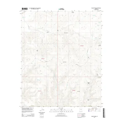
2014 Map of Faught Ridge
USGS Topo · Published 2014About this map
Faught Ridge serves as the dominant topographic spine of this Navajo County landscape, situated within the southern reaches of the White Mountains. This 2014 survey reveals an environment defined by seasonal hydrology and resource management, where numerous catchment features such as Lake Tank, W Burn Tank, and Salt Tank punctuate the arid terrain. The drainage network is complex, with Corduroy Cr and Middle Cedar Cr carving deep into the plateau, while names like First Hollow and Fourth Hollow suggest a segmented, repeating geography. Access is provided primarily by the winding Faught Ridge Rd and Us-60, which cuts across the northwestern corner. The placement of Salt Spring and Twentyfour- Quart Spring indicates the vital importance of natural water sources in this high-altitude region of the Arizona interior.
Find a feature on this map
39 named features on this map. Tap any name to fly to it.
Don’t see what you’re looking for? This feature index may not catch every label — zoom into the map to look around manually.
Map Details
Editions of this 2014 Faught Ridge Map
This is the sole edition of this map. No revisions or reprints were ever made.
Other maps of this area

1886 · St Johns
USGS Topo · 1:250,000

1886 · Holbrook
USGS Topo · 1:250,000

1892 · St Johns
USGS Topo · 1:250,000

1893 · Holbrook
USGS Topo · 1:250,000

1954 · Holbrook
USGS Topo · 1:250,000

1954 · Clifton
USGS Topo · 1:250,000

1954 · Saint Johns
USGS Topo · 1:250,000

1954 · Mesa
USGS Topo · 1:250,000

1957 · Mesa
USGS Topo · 1:250,000

1957 · Holbrook
USGS Topo · 1:250,000