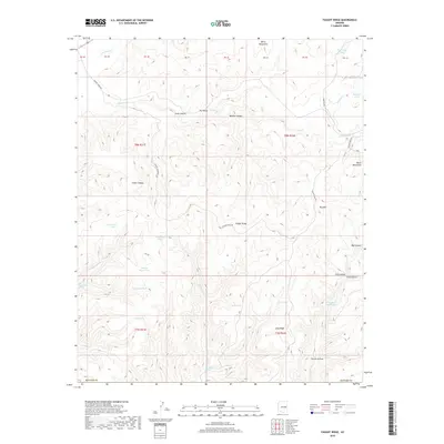
2018 Map of Faught Ridge
USGS Topo · Published 2018About this map
Faught Ridge stretches through this portion of Navajo County, anchoring a landscape defined by an extensive network of ephemeral drainages and livestock-watering infrastructure. In this 2018 survey, the area within the White Mountains is marked by a series of named "tanks" such as Heavy Burn Tank, Log Road Tank, and Salt Tank, reflecting the essential water management required for ranching and resource use in the high country.
Find a feature on this map
46 named features on this map. Tap any name to fly to it.
Don’t see what you’re looking for? This feature index may not catch every label — zoom into the map to look around manually.
Map Details
Editions of this 2018 Faught Ridge Map
This is the sole edition of this map. No revisions or reprints were ever made.
Other maps of this area

1886 · St Johns
USGS Topo · 1:250,000

1886 · Holbrook
USGS Topo · 1:250,000

1892 · St Johns
USGS Topo · 1:250,000

1893 · Holbrook
USGS Topo · 1:250,000

1954 · Holbrook
USGS Topo · 1:250,000

1954 · Clifton
USGS Topo · 1:250,000

1954 · Saint Johns
USGS Topo · 1:250,000

1954 · Mesa
USGS Topo · 1:250,000

1957 · Mesa
USGS Topo · 1:250,000

1957 · Holbrook
USGS Topo · 1:250,000