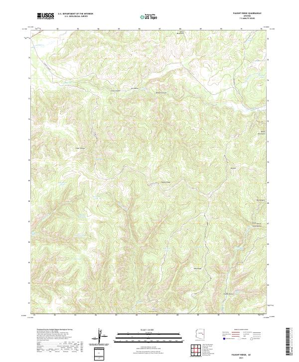
2021 Map of Faught Ridge
USGS Topo · Published 2021About this map
Faught Ridge and the high peaks of the White Mountains dominate this 2021 topographic study of the northern Arizona landscape. The terrain is defined by a series of steep drainages including Beaver Canyon, Cedar Canyon, and Lucy Canyon, which feed into larger watercourses like Corduroy Cr and Middle Cedar Cr. This area in Navajo County is primarily characterized by its remote hydrological network, featuring numerous springs and man-made tanks used for livestock or local management in the high-elevation backcountry. Researchers can trace the network of water sources such as Twentyfour Dart Spring, Bear Playground Spring, and Rattlesnake Spring. The map also documents the industrial and logistical infrastructure of the forest, including Faught Ridge Rd and the Log Road Tank, reflecting the modern management of these traditional ranching and timber lands.
Find a feature on this map
46 named features on this map. Tap any name to fly to it.
Don’t see what you’re looking for? This feature index may not catch every label — zoom into the map to look around manually.
Map Details
Editions of this 2021 Faught Ridge Map
This is the sole edition of this map. No revisions or reprints were ever made.
Other maps of this area

1886 · St Johns
USGS Topo · 1:250,000

1886 · Holbrook
USGS Topo · 1:250,000

1892 · St Johns
USGS Topo · 1:250,000

1893 · Holbrook
USGS Topo · 1:250,000

1954 · Holbrook
USGS Topo · 1:250,000

1954 · Clifton
USGS Topo · 1:250,000

1954 · Saint Johns
USGS Topo · 1:250,000

1954 · Mesa
USGS Topo · 1:250,000

1957 · Mesa
USGS Topo · 1:250,000

1957 · Holbrook
USGS Topo · 1:250,000