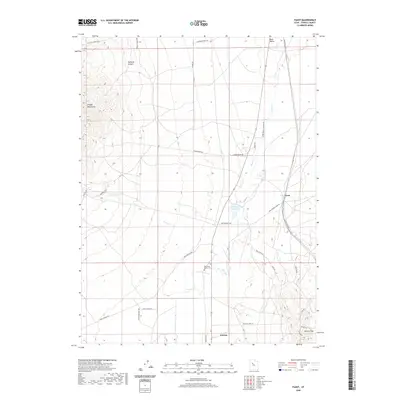
2020 Map of Faust
USGS Topo · Published 2020About this map
Vernon and the small settlement of Faust occupy this section of the Rush Valley, a landscape defined by its historic transportation corridors and high desert terrain. The area is anchored by the Onaqui Mountains to the west and the Vernon Hills to the southeast, with Faust Cr and its tributaries such as E Faust Cr providing the primary drainage. A significant historical marker is the Old Faust Ranch Cem, situated near the center of the map, which points to the early ranching history of Tooele County.
Find a feature on this map
35 named features on this map. Tap any name to fly to it.
Don’t see what you’re looking for? This feature index may not catch every label — zoom into the map to look around manually.
Map Details
Editions of this 2020 Faust Map
This is the sole edition of this map. No revisions or reprints were ever made.
Other maps of this area

1885 · Tooele Valley
USGS Topo · 1:250,000

1918 · Stockton
USGS Topo · 1:62,500

1953 · Tooele
USGS Topo · 1:250,000

1955 · Deseret Peak
USGS Topo · 1:62,500

1955 · Stockton
USGS Topo · 1:62,500

1955 · Tooele
USGS Topo · 1:250,000
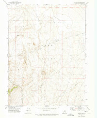
1971 · Vernon NE
USGS Topo · 1:24,000
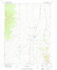
1971 · Faust
USGS Topo · 1:24,000

1971 · Onaqui Mts South
USGS Topo · 1:24,000
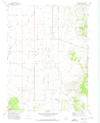
1971 · Vernon
USGS Topo · 1:24,000