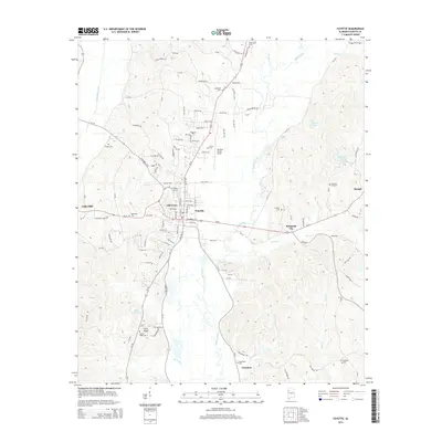
2014 Map of Fayette
USGS Topo · Published 2014About this map
The Sipsey River meanders southward through the center of this landscape, anchoring a region defined by established small-town centers and rural family burial grounds. At the heart of the map, Fayette and the neighboring Old Town area serve as the primary residential and commercial hub, while Rossland City sits to the east along the corridor that connects these communities. The topography is marked by a high density of local cemeteries, including the Fayette City Cem and Bankhead Cem, which provide significant points of interest for those tracing family history in Fayette County.
Find a feature on this map
113 named features on this map. Tap any name to fly to it.
Don’t see what you’re looking for? This feature index may not catch every label — zoom into the map to look around manually.
Map Details
Editions of this 2014 Fayette Map
This is the sole edition of this map. No revisions or reprints were ever made.
Other maps of this area

1953 · Birmingham
USGS Topo · 1:250,000

1956 · Birmingham
USGS Topo · 1:250,000

1957 · Birmingham
USGS Topo · 1:250,000
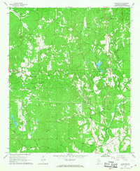
1967 · Bankston
USGS Topo · 1:24,000
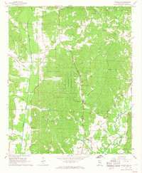
1967 · Winfield SE
USGS Topo · 1:24,000
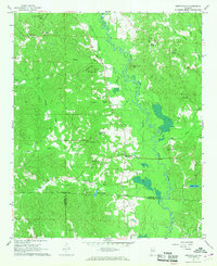
1967 · Newtonville
USGS Topo · 1:24,000
1967 · Kennedy
USGS Topo · 1:24,000
1967 · Hubbertville
USGS Topo · 1:24,000
1967 · Bluff
USGS Topo · 1:24,000
1967 · Fayette
USGS Topo · 1:24,000