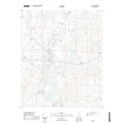
2018 Map of Fayette
USGS Topo · Published 2018About this map
Fayette serves as the central hub of this West Alabama landscape, where the Sipsey River and its floodplains weave a complex drainage pattern across the terrain. The map documents a dense concentration of local heritage sites, including the Fayette City Cem and the Richard Arthur Field athletic complex. The surrounding rural landscape is defined by smaller communities like Rossland City and Cedar Hill, connected by a network of local routes such as Columbus St and Stamps Bridge Rd.
Find a feature on this map
119 named features on this map. Tap any name to fly to it.
Don’t see what you’re looking for? This feature index may not catch every label — zoom into the map to look around manually.
Map Details
Editions of this 2018 Fayette Map
This is the sole edition of this map. No revisions or reprints were ever made.
Other maps of this area

1953 · Birmingham
USGS Topo · 1:250,000

1956 · Birmingham
USGS Topo · 1:250,000

1957 · Birmingham
USGS Topo · 1:250,000

1967 · Bankston
USGS Topo · 1:24,000

1967 · Winfield SE
USGS Topo · 1:24,000

1967 · Newtonville
USGS Topo · 1:24,000

1967 · Kennedy
USGS Topo · 1:24,000

1967 · Hubbertville
USGS Topo · 1:24,000

1967 · Bluff
USGS Topo · 1:24,000

1967 · Fayette
USGS Topo · 1:24,000