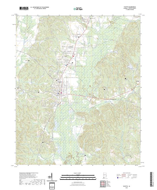
2024 Map of Fayette
USGS Topo · Published 2024About this map
The Fayette County Courthouse serves as the focal point of this West Alabama landscape, situated within the city of Fayette. The area exhibits a pattern of development concentrated around the intersection of major routes like Columbus St, while the surrounding terrain is defined by the winding course of the Sipsey River and its tributaries, including Luxapallila Creek and Boxes Creek. Educational and civic life is anchored by the Bevil State Community College Fayette Campus and Richard Arthur Field.
Find a feature on this map
94 named features on this map. Tap any name to fly to it.
Don’t see what you’re looking for? This feature index may not catch every label — zoom into the map to look around manually.
Map Details
Editions of this 2024 Fayette Map
This is the sole edition of this map. No revisions or reprints were ever made.
Other maps of this area

1953 · Birmingham
USGS Topo · 1:250,000

1956 · Birmingham
USGS Topo · 1:250,000

1957 · Birmingham
USGS Topo · 1:250,000

1967 · Bankston
USGS Topo · 1:24,000

1967 · Winfield SE
USGS Topo · 1:24,000

1967 · Newtonville
USGS Topo · 1:24,000

1967 · Kennedy
USGS Topo · 1:24,000

1967 · Hubbertville
USGS Topo · 1:24,000

1967 · Bluff
USGS Topo · 1:24,000

1967 · Fayette
USGS Topo · 1:24,000