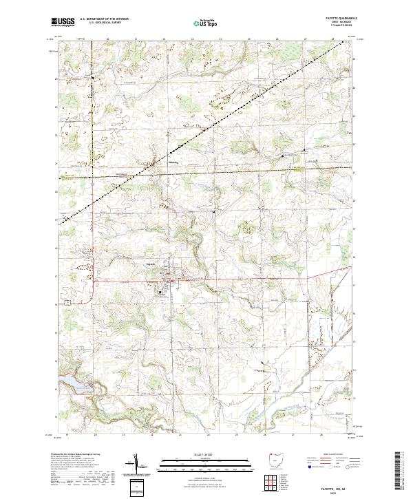
2023 Map of Fayette
USGS Topo · Published 2023About this map
The borderlands of Northwest Ohio and Southern Michigan are defined here by a network of agricultural roads and glacial waterways. The village of Fayette serves as the primary hub, where US Rte 20 intersects the local grid, including W Main St and E Main St. To the south, Harrison Lake provides a significant recreational water body, fed by Stag Run and near the drainage of Bean Creek.
Find a feature on this map
48 named features on this map. Tap any name to fly to it.
Don’t see what you’re looking for? This feature index may not catch every label — zoom into the map to look around manually.
Map Details
Editions of this 2023 Fayette Map
This is the sole edition of this map. No revisions or reprints were ever made.
Other maps of this area

1911 · Wauseon
USGS Topo · 1:62,500

1913 · Wauseon
USGS Topo · 1:62,500

1913 · Alvordton
USGS Topo · 1:62,500

1943 · Wauseon
USGS Topo · 1:62,500

1944 · Alvordton
USGS Topo · 1:62,500

1953 · Fort Wayne
USGS Topo · 1:250,000

1956 · Fort Wayne
USGS Topo · 1:250,000

1959 · Archbold
USGS Topo · 1:24,000
1960 · Wauseon
USGS Topo · 1:24,000

1960 · Morenci
USGS Topo · 1:24,000