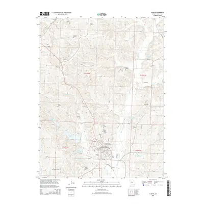
2014 Map of Fayette
USGS Topo · Published 2014About this map
Fayette serves as the central hub of this Missouri landscape, dominated by the campus of Central Methodist University-College of Liberal Arts & Sciences and its associated graduate studies college. The town's layout is defined by a traditional grid including W Morrison St and S Park Ave, surrounded by a complex network of water management features including the Old City Reservoir, Elliot Davis Lake, and D C Rogers Lake.
Find a feature on this map
70 named features on this map. Tap any name to fly to it.
Don’t see what you’re looking for? This feature index may not catch every label — zoom into the map to look around manually.
Map Details
Editions of this 2014 Fayette Map
This is the sole edition of this map. No revisions or reprints were ever made.
Other maps of this area

1890 · Glasgow
USGS Topo · 1:125,000

1947 · Glasgow
USGS Topo · 1:62,500

1952 · New Franklin
USGS Topo · 1:24,000

1952 · Hilldale
USGS Topo · 1:24,000

1953 · Moberly
USGS Topo · 1:250,000

1953 · Fayette
USGS Topo · 1:24,000

1953 · Burton
USGS Topo · 1:24,000

1953 · Higbee
USGS Topo · 1:24,000

1953 · Armstrong
USGS Topo · 1:24,000

1954 · Moberly
USGS Topo · 1:250,000