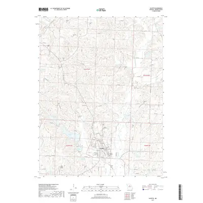
2017 Map of Fayette
USGS Topo · Published 2017About this map
Fayette serves as the central hub of this Howard County landscape, where the convergence of State Hwy 240, State Hwy 5, and State Hwy 87 anchors the local geography. The map reveals a dense network of family-named cemeteries such as Walnut Ridge Cem and Fayette City Cem, reflecting generations of local lineage. Outside the town limits, the terrain is defined by a series of water management features, including the Old City Reservoir, Elliot Davis Lake, and the curiously named Taylors Folly Reservoir. The presence of the Aero Britton Airport to the southwest and numerous county roads like Co Rd 300 indicates a community that transitioned from its 19th-century agricultural roots into a modern regional center while maintaining its historical footprint through preserved sites like Pritchett Cem and Hackley Cem.
Find a feature on this map
110 named features on this map. Tap any name to fly to it.
Don’t see what you’re looking for? This feature index may not catch every label — zoom into the map to look around manually.
Map Details
Editions of this 2017 Fayette Map
This is the sole edition of this map. No revisions or reprints were ever made.
Other maps of this area

1890 · Glasgow
USGS Topo · 1:125,000

1947 · Glasgow
USGS Topo · 1:62,500

1952 · New Franklin
USGS Topo · 1:24,000

1952 · Hilldale
USGS Topo · 1:24,000

1953 · Moberly
USGS Topo · 1:250,000

1953 · Fayette
USGS Topo · 1:24,000

1953 · Burton
USGS Topo · 1:24,000

1953 · Higbee
USGS Topo · 1:24,000

1953 · Armstrong
USGS Topo · 1:24,000

1954 · Moberly
USGS Topo · 1:250,000