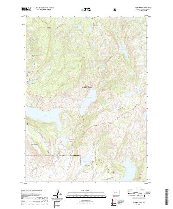
2021 Map of Fayette Lake
USGS Topo · Published 2021About this map
Bridger National Forest defines this high-elevation landscape in Sublette County, where a dense network of glacial lakes and mountain drainage systems carved into the terrain. The presence of Fayette Lake at the center of the sheet is surrounded by an extensive system of wilderness routes, including the Fayette Lake Trl and the Timico Trl. The geography is anchored by prominent summits such as Fortification Mtn and Half Moon Mtn, which overlook the deep waters of Half Moon Lake. In the southern portion of the quadrangle, Burnt Lake and Meadow Lake collect the runoff from Meadow Cr, while Pole Cr winds through the central valley. This 2021 survey documents the established backcountry infrastructure, featuring specialized paths like the Burnt Lake Atv Trl and the Miller/Sweeney Cutoff Trl that serve as vital links for modern mountain access.
Find a feature on this map
38 named features on this map. Tap any name to fly to it.
Don’t see what you’re looking for? This feature index may not catch every label — zoom into the map to look around manually.
Map Details
Editions of this 2021 Fayette Lake Map
This is the sole edition of this map. No revisions or reprints were ever made.
Other maps of this area

1909 · Fremont Peak
USGS Topo · 1:125,000

1955 · Thermopolis
USGS Topo · 1:250,000

1955 · Lander
USGS Topo · 1:250,000

1958 · Lander
USGS Topo · 1:250,000

1958 · Thermopolis
USGS Topo · 1:250,000

1961 · Lander
USGS Topo · 1:250,000

1962 · Thermopolis
USGS Topo · 1:250,000

1964 · Boulder Lake
USGS Topo · 1:24,000
1964 · Pinedale
USGS Topo · 1:24,000

1964 · Fremont Lake South
USGS Topo · 1:24,000