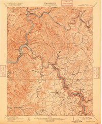
1910 Map of Fayetteville
USGS Topo · Published 1916About this map
The confluence of the Gauley River and the New River forms the Kanawha River at this high-relief West Virginia industrial landscape. Settlement patterns follow the winding river canyons and the heavy infrastructure of the Chesapeake and Ohio railroad. Significant coal-era river towns such as Ansted, Gauley Bridge, and Glen Ferris line the steep banks, while engineering feats like the Blue Hole Tunnel underscore the difficulty of traversing the terrain around Gauley Mountain. Beyond the river corridors, the map documents small mountain communities like Mountain Cove, Victor, and Beckwith, alongside the local Pine Grove School and several post offices including Robson PO. The presence of the Virginian railway further south highlights the region's early 20th-century reliance on rail for mineral extraction and regional transport.
Find a feature on this map
134 named features on this map. Tap any name to fly to it.
Don’t see what you’re looking for? This feature index may not catch every label — zoom into the map to look around manually.
Map Details
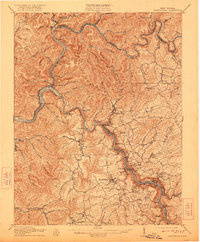
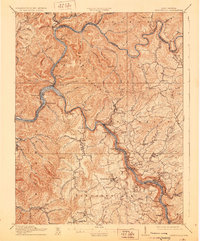
Editions of this 1910 Fayetteville Map
4 editions found

Other maps of this area

1887 · Hinton
USGS Topo · 1:125,000

1889 · Nicholas
USGS Topo · 1:125,000

1891 · Nicholas
USGS Topo · 1:125,000

1891 · Raleigh
USGS Topo · 1:125,000

1892 · Hinton
USGS Topo · 1:125,000

1897 · Kanawha Falls
USGS Topo · 1:125,000

1897 · Raleigh
USGS Topo · 1:125,000

1900 · Kanawha Falls
USGS Topo · 1:125,000

1901 · Nicholas
USGS Topo · 1:125,000

1901 · Kanawha Falls
USGS Topo · 1:125,000