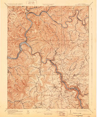
1910 Map of Fayetteville
USGS Topo · Published 1929About this map
The Gauley River and New River converge in a dramatic display of industrial and geological forces at the turn of the century. This 1908 survey illustrates the critical transportation corridor of the Chesapeake and Ohio railroad as it winds along the riverbank through narrow passages like the Blue Hole Tunnel. Notable riverside settlements such as Nuttallburg, Fayette, and Kaymoor are mapped during a period of intense coal and timber extraction, while the landmark Kanawha Falls near Glen Ferris marks a significant hydraulic transition in the landscape.
Find a feature on this map
114 named features on this map. Tap any name to fly to it.
Don’t see what you’re looking for? This feature index may not catch every label — zoom into the map to look around manually.
Map Details
Editions of this 1910 Fayetteville Map
4 editions found

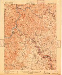
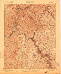
Other maps of this area

1887 · Hinton
USGS Topo · 1:125,000

1889 · Nicholas
USGS Topo · 1:125,000

1891 · Nicholas
USGS Topo · 1:125,000

1891 · Raleigh
USGS Topo · 1:125,000

1892 · Hinton
USGS Topo · 1:125,000

1897 · Kanawha Falls
USGS Topo · 1:125,000

1897 · Raleigh
USGS Topo · 1:125,000

1900 · Kanawha Falls
USGS Topo · 1:125,000

1901 · Nicholas
USGS Topo · 1:125,000

1901 · Kanawha Falls
USGS Topo · 1:125,000